Field near Ethy Barton
Introduction
The photograph on this page of Field near Ethy Barton by Derek Harper as part of the Geograph project.
The Geograph project started in 2005 with the aim of publishing, organising and preserving representative images for every square kilometre of Great Britain, Ireland and the Isle of Man.

There are currently over 7.5m images from over 14,400 individuals and you can help contribute to the project by visiting https://www.geograph.org.uk
Field near Ethy Barton
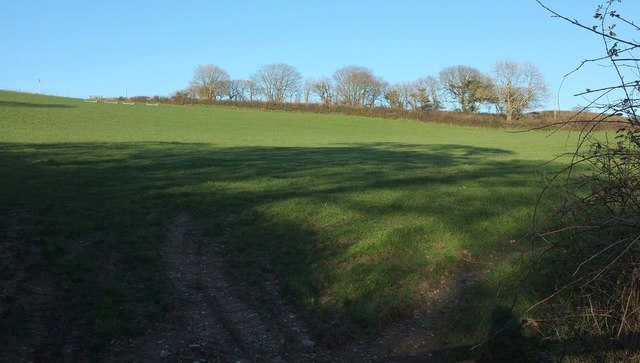
Image: © Derek Harper Taken: 31 Mar 2016
From the other side of the hedge shown in Image The trees are along another road, from Bawdoe Farm, which meet the road from which this was taken at a sharp angle at the right-hand, southern tip of this field.
Images are licensed for reuse under creativecommons.org/licenses/by-sa/2.0
Image Location
Latitude
50.393962
Longitude
-4.628076