Cottages, St Winnow
Introduction
The photograph on this page of Cottages, St Winnow by Derek Harper as part of the Geograph project.
The Geograph project started in 2005 with the aim of publishing, organising and preserving representative images for every square kilometre of Great Britain, Ireland and the Isle of Man.

There are currently over 7.5m images from over 14,400 individuals and you can help contribute to the project by visiting https://www.geograph.org.uk
Cottages, St Winnow
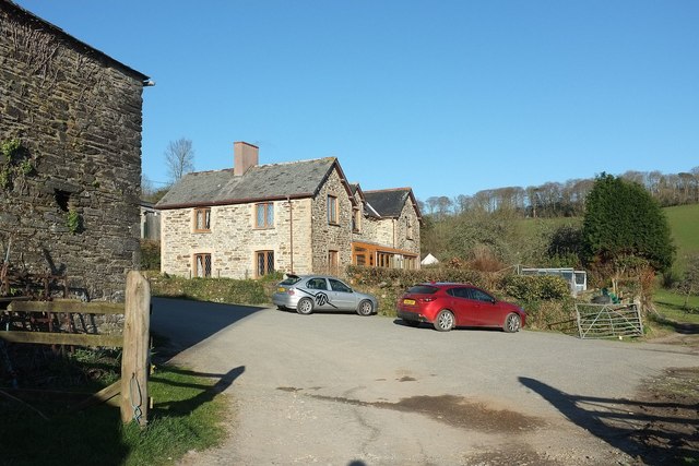
Image: © Derek Harper Taken: 31 Mar 2016
Mohum Cottages, like the listed barn on the left (Image]), straddle a grid line. On the right is the track shown in Image The cars are parked at the end of the public road.
Images are licensed for reuse under creativecommons.org/licenses/by-sa/2.0
Image Location


Leaflet Map data © OpenStreetMap
Latitude
50.382549
Longitude
-4.65136