Springbourne: footpath D05 to Holdenhurst Road
Introduction
The photograph on this page of Springbourne: footpath D05 to Holdenhurst Road by Chris Downer as part of the Geograph project.
The Geograph project started in 2005 with the aim of publishing, organising and preserving representative images for every square kilometre of Great Britain, Ireland and the Isle of Man.

There are currently over 7.5m images from over 14,400 individuals and you can help contribute to the project by visiting https://www.geograph.org.uk
Springbourne: footpath D05 to Holdenhurst Road
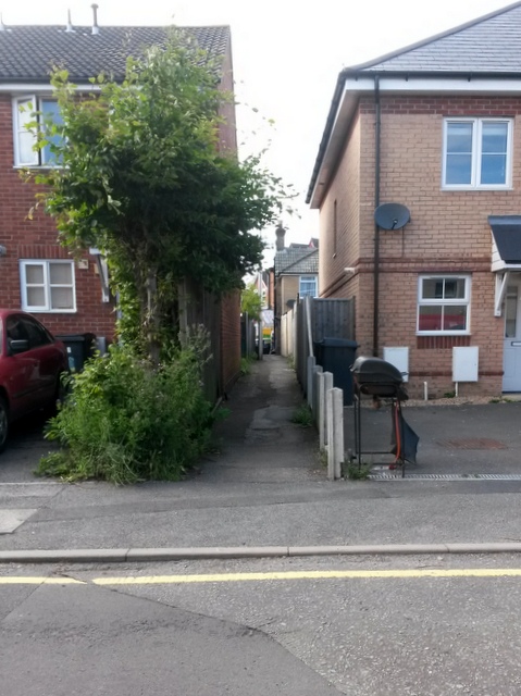
Image: © Chris Downer Taken: 1 Jul 2016
A narrow public footpath leads from Stanley Road to the main Holdenhurst Road - see Image for a view as it reaches the far end.
Images are licensed for reuse under creativecommons.org/licenses/by-sa/2.0
Image Location
Latitude
50.729959
Longitude
-1.855569