The national park boundary, south of Dale Side
Introduction
The photograph on this page of The national park boundary, south of Dale Side by Christine Johnstone as part of the Geograph project.
The Geograph project started in 2005 with the aim of publishing, organising and preserving representative images for every square kilometre of Great Britain, Ireland and the Isle of Man.

There are currently over 7.5m images from over 14,400 individuals and you can help contribute to the project by visiting https://www.geograph.org.uk
The national park boundary, south of Dale Side
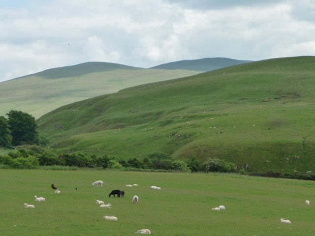
Image: © Christine Johnstone Taken: 14 Jun 2016
Also a civil parish boundary. The fell [south, beyond the trees] is in Ireby & Uldale, within the Lake District National Park. The flat sheep pasture in the foreground is in Boltons, outside the park.
Images are licensed for reuse under creativecommons.org/licenses/by-sa/2.0
Image Location
Latitude
54.737126
Longitude
-3.14617