Kinson: tree in open space behind Baker Road
Introduction
The photograph on this page of Kinson: tree in open space behind Baker Road by Chris Downer as part of the Geograph project.
The Geograph project started in 2005 with the aim of publishing, organising and preserving representative images for every square kilometre of Great Britain, Ireland and the Isle of Man.

There are currently over 7.5m images from over 14,400 individuals and you can help contribute to the project by visiting https://www.geograph.org.uk
Kinson: tree in open space behind Baker Road
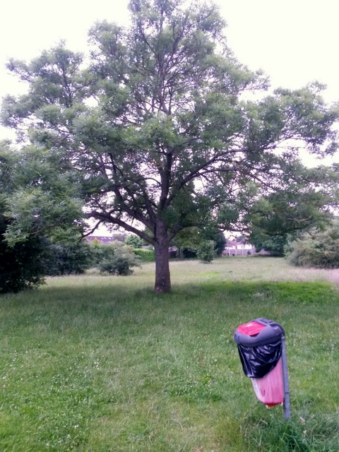
Image: © Chris Downer Taken: 30 Jun 2016
Looking diagonally across this little green space between Baker and Anchor Roads. See Image for links back to the public right of way that has brought us here from Baker Road, and Image for a view towards us from the far end of the open space, with links to photos along the similar public footpath to Anchor Road.
Images are licensed for reuse under creativecommons.org/licenses/by-sa/2.0
Image Location


Leaflet Map data © OpenStreetMap
Latitude
50.767157
Longitude
-1.915152