Kinson: footpath E21 reaches Anstey Close from Wimborne Road
Introduction
The photograph on this page of Kinson: footpath E21 reaches Anstey Close from Wimborne Road by Chris Downer as part of the Geograph project.
The Geograph project started in 2005 with the aim of publishing, organising and preserving representative images for every square kilometre of Great Britain, Ireland and the Isle of Man.

There are currently over 7.5m images from over 14,400 individuals and you can help contribute to the project by visiting https://www.geograph.org.uk
Kinson: footpath E21 reaches Anstey Close from Wimborne Road
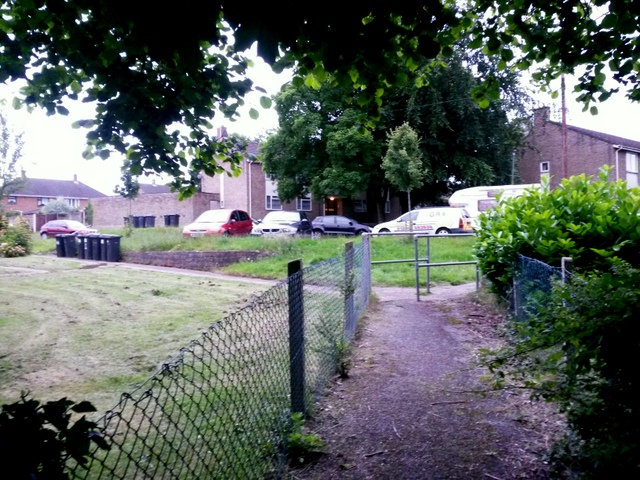
Image: © Chris Downer Taken: 30 Jun 2016
Looking along this public footpath as it arrives at the dead end of Anstey Close, whereupon it bears right and continues to Baker Road. See Image for the next view on the path behind us, and Image for the view towards us from the road ahead - each with links to further photos on the path.
Images are licensed for reuse under creativecommons.org/licenses/by-sa/2.0
Image Location


Leaflet Map data © OpenStreetMap
Latitude
50.768325
Longitude
-1.913874