Mayes Brook looking towards Ripple Road
Introduction
The photograph on this page of Mayes Brook looking towards Ripple Road by Marathon as part of the Geograph project.
The Geograph project started in 2005 with the aim of publishing, organising and preserving representative images for every square kilometre of Great Britain, Ireland and the Isle of Man.

There are currently over 7.5m images from over 14,400 individuals and you can help contribute to the project by visiting https://www.geograph.org.uk
Mayes Brook looking towards Ripple Road
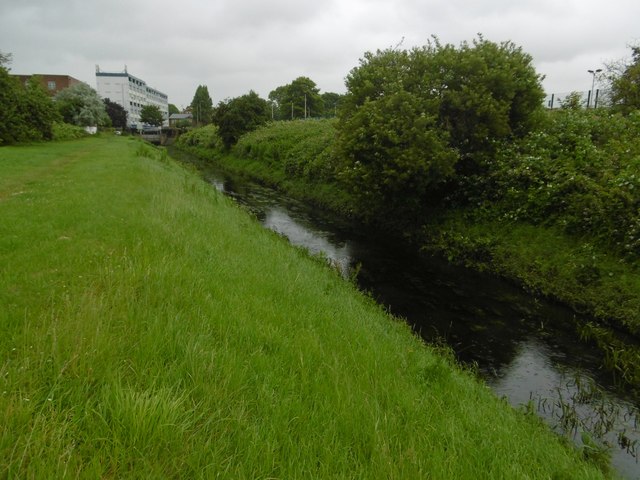
Image: © Marathon Taken: 29 Jun 2016
The Mayes Brook originates just to the north of Chadwell Heath, although the upper reaches now run mostly underground. Just north of here, on the other side of Ripple Road the Mayes Brook flows underground near Rippleside Cemetery. The Mayes Brook flows into the River Roding at Barking Creek. The open space alongside the Mayes Brook here can only be entered from Ripple Road as the railway and the A13 block the other end.
Images are licensed for reuse under creativecommons.org/licenses/by-sa/2.0
Image Location


Leaflet Map data © OpenStreetMap
Latitude
51.535149
Longitude
0.102622