Moordown: footpaths M03 and M04 meet
Introduction
The photograph on this page of Moordown: footpaths M03 and M04 meet by Chris Downer as part of the Geograph project.
The Geograph project started in 2005 with the aim of publishing, organising and preserving representative images for every square kilometre of Great Britain, Ireland and the Isle of Man.

There are currently over 7.5m images from over 14,400 individuals and you can help contribute to the project by visiting https://www.geograph.org.uk
Moordown: footpaths M03 and M04 meet
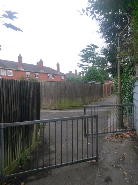
Image: © Chris Downer Taken: 30 Jun 2016
The public footpath, M03 from Limited Road (behind us) heads for Brassey Road (straight ahead), while a short path, M04, linking Ripon Road, goes off to our left. See: Image for the next view along the path ahead; Image for the start of the path behind us; and Image for the view along footpath M04 (left) to Ripon Road.
Images are licensed for reuse under creativecommons.org/licenses/by-sa/2.0
Image Location
Latitude
50.74886
Longitude
-1.869402