West Howe: footpath U28 diverges from Moore Avenue
Introduction
The photograph on this page of West Howe: footpath U28 diverges from Moore Avenue by Chris Downer as part of the Geograph project.
The Geograph project started in 2005 with the aim of publishing, organising and preserving representative images for every square kilometre of Great Britain, Ireland and the Isle of Man.

There are currently over 7.5m images from over 14,400 individuals and you can help contribute to the project by visiting https://www.geograph.org.uk
West Howe: footpath U28 diverges from Moore Avenue
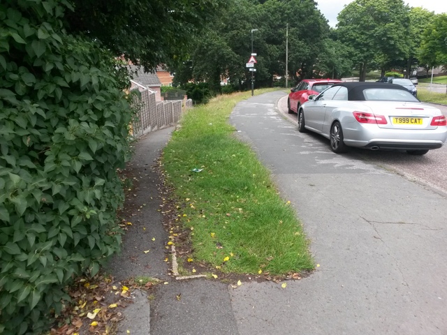
Image: © Chris Downer Taken: 30 Jun 2016
Looking along Moore Avenue as it approaches Poole Lane (distance). The pedestrian who wishes to turn left at the bottom can cut the corner off via this public footpath which takes a much more direct route. See Image for a view up the path towards us, and links to further pictures on the way down.
Images are licensed for reuse under creativecommons.org/licenses/by-sa/2.0
Image Location
Latitude
50.761759
Longitude
-1.912043