Footpath off Hill End Lane, Queensbury
Introduction
The photograph on this page of Footpath off Hill End Lane, Queensbury by Humphrey Bolton as part of the Geograph project.
The Geograph project started in 2005 with the aim of publishing, organising and preserving representative images for every square kilometre of Great Britain, Ireland and the Isle of Man.

There are currently over 7.5m images from over 14,400 individuals and you can help contribute to the project by visiting https://www.geograph.org.uk
Footpath off Hill End Lane, Queensbury
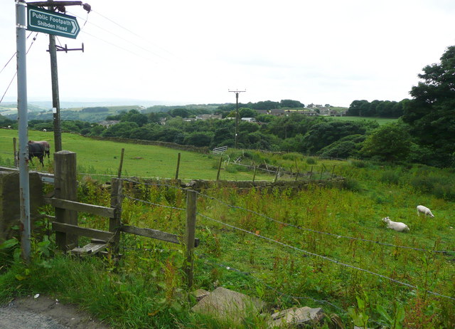
Image: © Humphrey Bolton Taken: 27 Jun 2016
Only the first section of this path is on its definitive route as shown on the Bradford Council rights-of-way map and OS maps. This was a path to a farm called Green Field, which was in the area of rough vegetation beyond the corner of the wall.
Images are licensed for reuse under creativecommons.org/licenses/by-sa/2.0
Image Location
Latitude
53.762487
Longitude
-1.855858