Saxby All Saints Church
Introduction
The photograph on this page of Saxby All Saints Church by Paul Harrop as part of the Geograph project.
The Geograph project started in 2005 with the aim of publishing, organising and preserving representative images for every square kilometre of Great Britain, Ireland and the Isle of Man.

There are currently over 7.5m images from over 14,400 individuals and you can help contribute to the project by visiting https://www.geograph.org.uk
Saxby All Saints Church
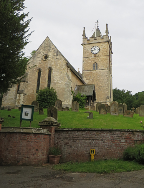
Image: © Paul Harrop Taken: 28 Jun 2016
They're not overly imaginative with their naming round here. Not only does the village have the same name as the church, the lane it's on is called Church Lane.
Images are licensed for reuse under creativecommons.org/licenses/by-sa/2.0
Image Location


Leaflet Map data © OpenStreetMap
Latitude
53.637334
Longitude
-0.500968