Kinson: Westdown Road
Introduction
The photograph on this page of Kinson: Westdown Road by Chris Downer as part of the Geograph project.
The Geograph project started in 2005 with the aim of publishing, organising and preserving representative images for every square kilometre of Great Britain, Ireland and the Isle of Man.

There are currently over 7.5m images from over 14,400 individuals and you can help contribute to the project by visiting https://www.geograph.org.uk
Kinson: Westdown Road
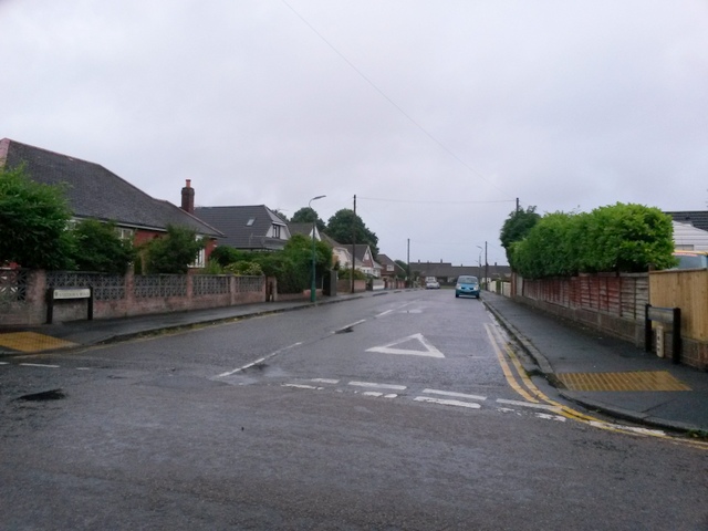
Image: © Chris Downer Taken: 29 Jun 2016
This ordinary looking road is marked on the map as a 'Byway open to all traffic' and is numbered E29 on Bournemouth Borough Council's definitive map of public rights of way. I don't know why this particular stretch of road should be labelled as such: maybe it was a historical route when this was heathland, and the modern road network incorporated it. This suggestion is perhaps supported by the historical 1:25,000 maps, which date from when Durdells Avenue (where we are) was the first built-up road as the construction of the estate started. On this map, Westdown Road was the only offshoot of Durdells Avenue, beyond which it was still fields. The definitive map seems to show the right of way as extending only as far as number 9, the fourth house along - that's about two thirds of the length of the road. See Image] for a view towards us from about there.
Images are licensed for reuse under creativecommons.org/licenses/by-sa/2.0
Image Location
Latitude
50.766523
Longitude
-1.909623