Kinson: footpath E13 to Wakely Road
Introduction
The photograph on this page of Kinson: footpath E13 to Wakely Road by Chris Downer as part of the Geograph project.
The Geograph project started in 2005 with the aim of publishing, organising and preserving representative images for every square kilometre of Great Britain, Ireland and the Isle of Man.

There are currently over 7.5m images from over 14,400 individuals and you can help contribute to the project by visiting https://www.geograph.org.uk
Kinson: footpath E13 to Wakely Road
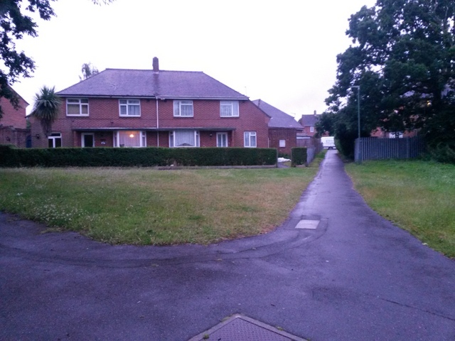
Image: © Chris Downer Taken: 29 Jun 2016
Alongside two houses that are set back from the road runs this useful cut-through - see Image] for a nighttime view and links to further photos through to the other end. In front of the houses runs another footpath - see Image
Images are licensed for reuse under creativecommons.org/licenses/by-sa/2.0
Image Location
Latitude
50.766881
Longitude
-1.90707