West Howe: footpath U35 heads for Ericksen Road
Introduction
The photograph on this page of West Howe: footpath U35 heads for Ericksen Road by Chris Downer as part of the Geograph project.
The Geograph project started in 2005 with the aim of publishing, organising and preserving representative images for every square kilometre of Great Britain, Ireland and the Isle of Man.

There are currently over 7.5m images from over 14,400 individuals and you can help contribute to the project by visiting https://www.geograph.org.uk
West Howe: footpath U35 heads for Ericksen Road
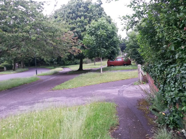
Image: © Chris Downer Taken: 29 Jun 2016
A photo taken on the public footpath, just alongside the white van shown in Image This public right of way is marked on maps as taking a dead-straight course ahead of us, leading up Ericksen Road behind the red car. However, the tarmacked route strays slightly from absolute straightness. See Image for a view up Ericksen Road from under the tree on the pavement. Meanwhile, just to the right ahead is Image
Images are licensed for reuse under creativecommons.org/licenses/by-sa/2.0
Image Location
Latitude
50.757794
Longitude
-1.902268