Westbourne: footpath A10 descends to Prince of Wales Road
Introduction
The photograph on this page of Westbourne: footpath A10 descends to Prince of Wales Road by Chris Downer as part of the Geograph project.
The Geograph project started in 2005 with the aim of publishing, organising and preserving representative images for every square kilometre of Great Britain, Ireland and the Isle of Man.

There are currently over 7.5m images from over 14,400 individuals and you can help contribute to the project by visiting https://www.geograph.org.uk
Westbourne: footpath A10 descends to Prince of Wales Road
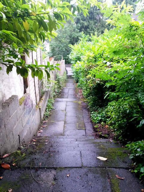
Image: © Chris Downer Taken: 29 Jun 2016
Looking down the lower half of this steep public footpath from Snowdon Road. See Image] for the view up the path from the bottom, and Image for a view behind us.
Images are licensed for reuse under creativecommons.org/licenses/by-sa/2.0
Image Location
Latitude
50.724699
Longitude
-1.899361