West Howe: footpath U28 heads for Moore Avenue
Introduction
The photograph on this page of West Howe: footpath U28 heads for Moore Avenue by Chris Downer as part of the Geograph project.
The Geograph project started in 2005 with the aim of publishing, organising and preserving representative images for every square kilometre of Great Britain, Ireland and the Isle of Man.

There are currently over 7.5m images from over 14,400 individuals and you can help contribute to the project by visiting https://www.geograph.org.uk
West Howe: footpath U28 heads for Moore Avenue
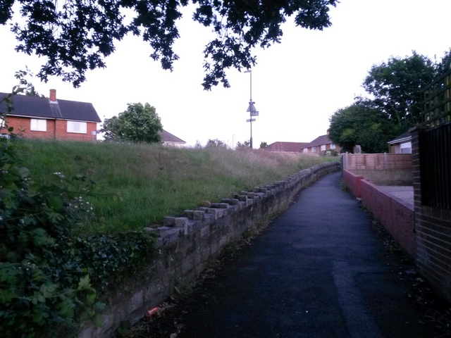
Image: © Chris Downer Taken: 28 Jun 2016
This public footpath ascends to meet Moore Avenue almost parallel with it - it runs just to our left, at the top of the grass bank. See Image See Image] for a view down onto the path behind us from the top of the grass bank to the left.
Images are licensed for reuse under creativecommons.org/licenses/by-sa/2.0
Image Location
Latitude
50.761759
Longitude
-1.912043