West Howe: footpath U28 passes April Close
Introduction
The photograph on this page of West Howe: footpath U28 passes April Close by Chris Downer as part of the Geograph project.
The Geograph project started in 2005 with the aim of publishing, organising and preserving representative images for every square kilometre of Great Britain, Ireland and the Isle of Man.

There are currently over 7.5m images from over 14,400 individuals and you can help contribute to the project by visiting https://www.geograph.org.uk
West Howe: footpath U28 passes April Close
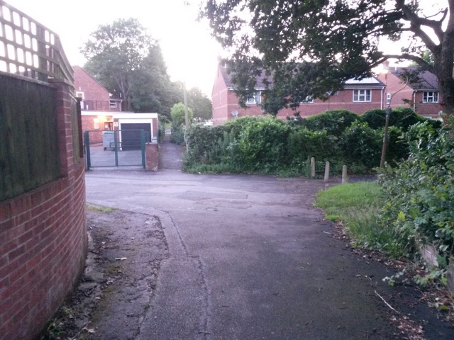
Image: © Chris Downer Taken: 28 Jun 2016
Looking along this public footpath, which provides a cut-through from Moore Avenue behind us to Poole Lane, through the narrow path ahead. Between the two segments is the dead end of April Close, which heads left in the centre of the picture. See Image] for the next view along the alley ahead, and Image] for the view down onto the path from the top of the grass bank to our right. Meanwhile on the right is a further public footpath - see Image
Images are licensed for reuse under creativecommons.org/licenses/by-sa/2.0
Image Location
Latitude
50.762029
Longitude
-1.912326