Chandos Road, Woolcott Park
Introduction
The photograph on this page of Chandos Road, Woolcott Park by Bill Boaden as part of the Geograph project.
The Geograph project started in 2005 with the aim of publishing, organising and preserving representative images for every square kilometre of Great Britain, Ireland and the Isle of Man.

There are currently over 7.5m images from over 14,400 individuals and you can help contribute to the project by visiting https://www.geograph.org.uk
Chandos Road, Woolcott Park
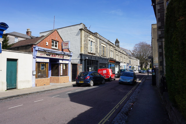
Image: © Bill Boaden Taken: 13 Apr 2016
In the foreground is Ahmed's Curry Cafe and most of the outlets on this road are now eating places. Further away is the profile of St Saviour's, Redland, which has now been converted into apartments.
Images are licensed for reuse under creativecommons.org/licenses/by-sa/2.0
Image Location
Latitude
51.467536
Longitude
-2.606742