Talbot Woods: footpath A15 reaches East Avenue
Introduction
The photograph on this page of Talbot Woods: footpath A15 reaches East Avenue by Chris Downer as part of the Geograph project.
The Geograph project started in 2005 with the aim of publishing, organising and preserving representative images for every square kilometre of Great Britain, Ireland and the Isle of Man.

There are currently over 7.5m images from over 14,400 individuals and you can help contribute to the project by visiting https://www.geograph.org.uk
Talbot Woods: footpath A15 reaches East Avenue
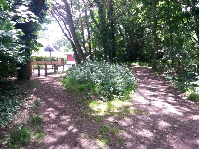
Image: © Chris Downer Taken: 28 Jun 2016
This public footpath (left) is numbered by Bournemouth council although it is in the borough of Poole at this precise spot. It is seen here reaching the end of East Avenue, the wooden fence marking the borough boundary. See Image for the view towards us from the road and Image for the next picture along the path behind us.
Images are licensed for reuse under creativecommons.org/licenses/by-sa/2.0
Image Location
Latitude
50.733063
Longitude
-1.900902