Talbot Woods: footpath A15 to Alyth Road
Introduction
The photograph on this page of Talbot Woods: footpath A15 to Alyth Road by Chris Downer as part of the Geograph project.
The Geograph project started in 2005 with the aim of publishing, organising and preserving representative images for every square kilometre of Great Britain, Ireland and the Isle of Man.

There are currently over 7.5m images from over 14,400 individuals and you can help contribute to the project by visiting https://www.geograph.org.uk
Talbot Woods: footpath A15 to Alyth Road
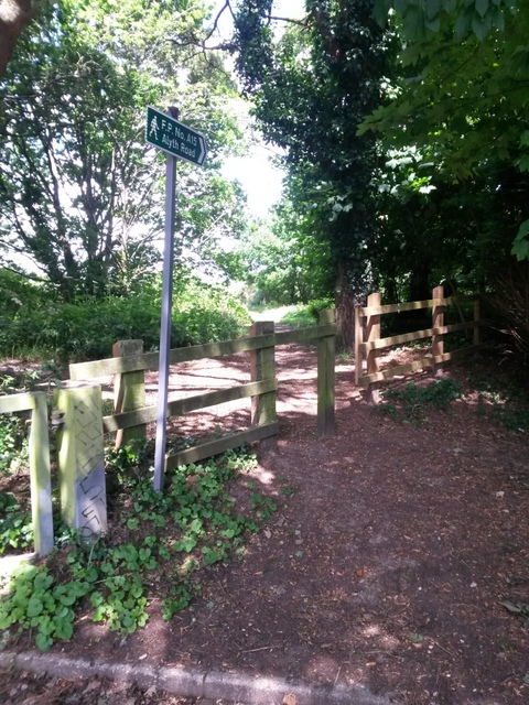
Image: © Chris Downer Taken: 28 Jun 2016
This is the very last road sign in Bournemouth, because the wooden fencing forms the boundary with Poole. Footpath A15 is numbered by Bournemouth despite immediately crossing the border - it does, however, hug the side garden wall which continues as the boundary and crosses back to reach Alyth Road. See Image for the next picture along the path and links to further images along its route.
Images are licensed for reuse under creativecommons.org/licenses/by-sa/2.0
Image Location
Latitude
50.733063
Longitude
-1.900902