Leading up to Roxburgh Street, Kelso
Introduction
The photograph on this page of Leading up to Roxburgh Street, Kelso by Chris Heaton as part of the Geograph project.
The Geograph project started in 2005 with the aim of publishing, organising and preserving representative images for every square kilometre of Great Britain, Ireland and the Isle of Man.

There are currently over 7.5m images from over 14,400 individuals and you can help contribute to the project by visiting https://www.geograph.org.uk
Leading up to Roxburgh Street, Kelso
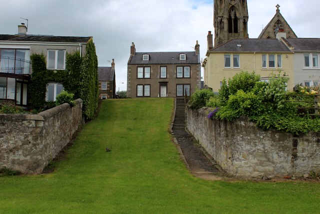
Image: © Chris Heaton Taken: 27 Jun 2016
Leading from the Riverside Walk up to Roxburgh Street, Kelso.
Images are licensed for reuse under creativecommons.org/licenses/by-sa/2.0
Image Location
Latitude
55.600546
Longitude
-2.437514