Gated footpath, Warcop Station
Introduction
The photograph on this page of Gated footpath, Warcop Station by Christine Johnstone as part of the Geograph project.
The Geograph project started in 2005 with the aim of publishing, organising and preserving representative images for every square kilometre of Great Britain, Ireland and the Isle of Man.

There are currently over 7.5m images from over 14,400 individuals and you can help contribute to the project by visiting https://www.geograph.org.uk
Gated footpath, Warcop Station
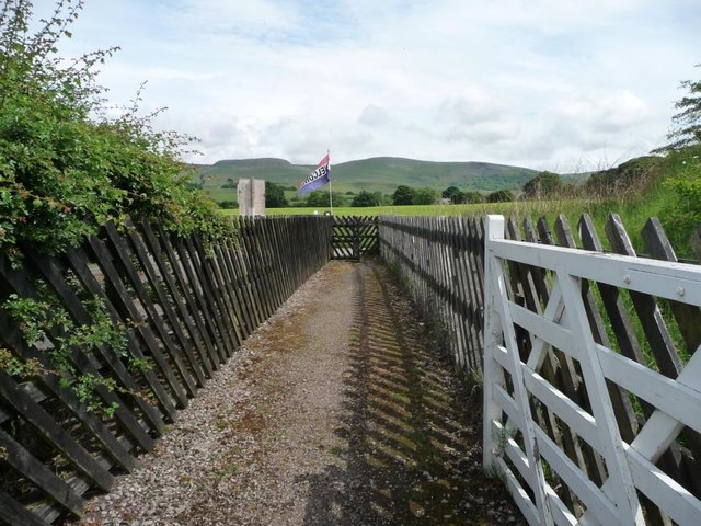
Image: © Christine Johnstone Taken: 12 Jun 2016
Connecting a public bridleway on the south side of the tracks with a minor road on the north side.
Images are licensed for reuse under creativecommons.org/licenses/by-sa/2.0
Image Location
Latitude
54.534442
Longitude
-2.38075