Crossroads near Greymare Farm
Introduction
The photograph on this page of Crossroads near Greymare Farm by Derek Harper as part of the Geograph project.
The Geograph project started in 2005 with the aim of publishing, organising and preserving representative images for every square kilometre of Great Britain, Ireland and the Isle of Man.

There are currently over 7.5m images from over 14,400 individuals and you can help contribute to the project by visiting https://www.geograph.org.uk
Crossroads near Greymare Farm
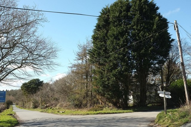
Image: © Derek Harper Taken: 31 Mar 2016
Also shown, with broadleaves in leaf, at Image The principal road here, heading away on the left towards Bodmin, is the straight road shown in Image
Images are licensed for reuse under creativecommons.org/licenses/by-sa/2.0
Image Location
Latitude
50.441669
Longitude
-4.638466