West Howe: footpath U32 and a block of flats
Introduction
The photograph on this page of West Howe: footpath U32 and a block of flats by Chris Downer as part of the Geograph project.
The Geograph project started in 2005 with the aim of publishing, organising and preserving representative images for every square kilometre of Great Britain, Ireland and the Isle of Man.

There are currently over 7.5m images from over 14,400 individuals and you can help contribute to the project by visiting https://www.geograph.org.uk
West Howe: footpath U32 and a block of flats
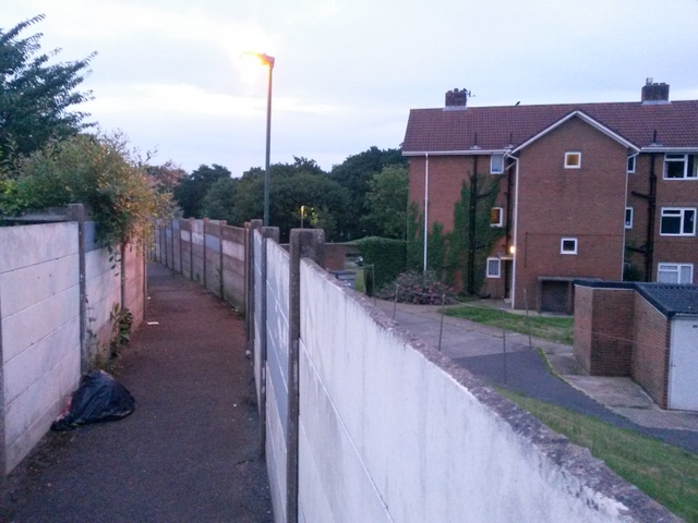
Image: © Chris Downer Taken: 27 Jun 2016
Looking down this public footpath and also over the wall to one of two blocks of flats on this site in South Kinson Drive. See Image for the view up the path from the end, and Image for the other end behind us.
Images are licensed for reuse under creativecommons.org/licenses/by-sa/2.0
Image Location
Latitude
50.760133
Longitude
-1.90283