West Howe: Poolside Walk sign on footpath U32
Introduction
The photograph on this page of West Howe: Poolside Walk sign on footpath U32 by Chris Downer as part of the Geograph project.
The Geograph project started in 2005 with the aim of publishing, organising and preserving representative images for every square kilometre of Great Britain, Ireland and the Isle of Man.

There are currently over 7.5m images from over 14,400 individuals and you can help contribute to the project by visiting https://www.geograph.org.uk
West Howe: Poolside Walk sign on footpath U32
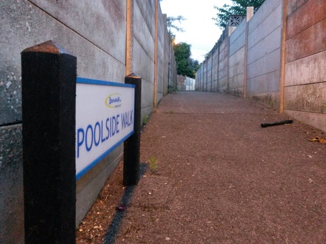
Image: © Chris Downer Taken: 27 Jun 2016
Detail of the sign at the end of Image Many of the footpaths on the West Howe estate and thereabouts have been given names in the last couple of years, a safety initiative whose intention is that, in the event of calling for help, one's location can be more easily described. This one has been called Poolside Walk because just behind us is the site of the old swimming baths (Image) - although they were already demolished when the name was coined. See Image for a view towards us from just around the bend ahead.
Images are licensed for reuse under creativecommons.org/licenses/by-sa/2.0
Image Location
Latitude
50.760313
Longitude
-1.90283