West Howe: footpath U31 to Moore Avenue
Introduction
The photograph on this page of West Howe: footpath U31 to Moore Avenue by Chris Downer as part of the Geograph project.
The Geograph project started in 2005 with the aim of publishing, organising and preserving representative images for every square kilometre of Great Britain, Ireland and the Isle of Man.

There are currently over 7.5m images from over 14,400 individuals and you can help contribute to the project by visiting https://www.geograph.org.uk
West Howe: footpath U31 to Moore Avenue
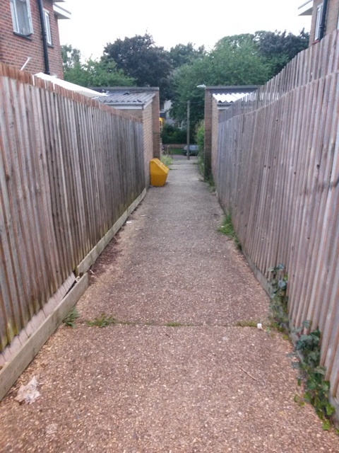
Image: © Chris Downer Taken: 27 Jun 2016
Looking down this short public footpath from its top end. See Image] for an upward view and more discussion; and Image for a view along the path just behind us, onto which this one leads.
Images are licensed for reuse under creativecommons.org/licenses/by-sa/2.0
Image Location
Latitude
50.75933
Longitude
-1.911055