West Howe: footpath U31 to Cunningham Close (almost)
Introduction
The photograph on this page of West Howe: footpath U31 to Cunningham Close (almost) by Chris Downer as part of the Geograph project.
The Geograph project started in 2005 with the aim of publishing, organising and preserving representative images for every square kilometre of Great Britain, Ireland and the Isle of Man.

There are currently over 7.5m images from over 14,400 individuals and you can help contribute to the project by visiting https://www.geograph.org.uk
West Howe: footpath U31 to Cunningham Close (almost)
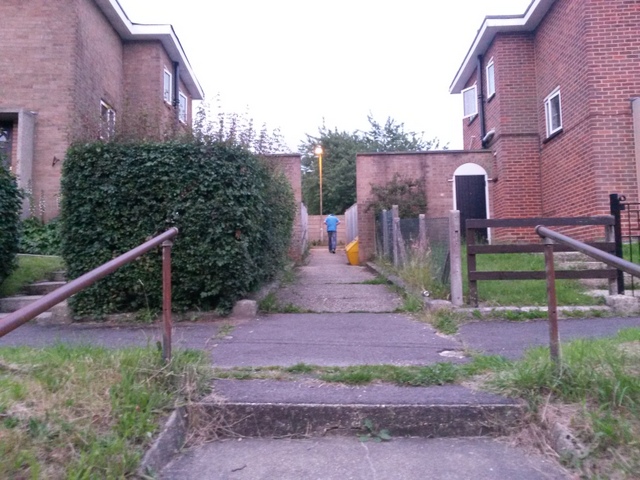
Image: © Chris Downer Taken: 27 Jun 2016
A man walks up this short public footpath that leads between houses in Moore Avenue to a path (not also designated a public footpath) running behind them. The end of Cunningham Close is just behind the wall at the back, but the path leads to it only indirectly (see Image). See Image for a view down the path from the end, and Image for a view of the steps on which we are standing.
Images are licensed for reuse under creativecommons.org/licenses/by-sa/2.0
Image Location
Latitude
50.75933
Longitude
-1.911055