Moydog-uchaf
Introduction
The photograph on this page of Moydog-uchaf by Penny Mayes as part of the Geograph project.
The Geograph project started in 2005 with the aim of publishing, organising and preserving representative images for every square kilometre of Great Britain, Ireland and the Isle of Man.

There are currently over 7.5m images from over 14,400 individuals and you can help contribute to the project by visiting https://www.geograph.org.uk
Moydog-uchaf
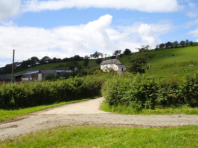
Image: © Penny Mayes Taken: 18 Jul 2007
There are three farms bearing the name Moydog in this area, Image and Moydog-fach (visible here http://www.geograph.org.uk/photo/501084 ) being the other two. It is said that this is the site of the Battle of Meismeidoc, 1295.
Images are licensed for reuse under creativecommons.org/licenses/by-sa/2.0
Image Location
Latitude
52.667279
Longitude
-3.238834