Routenbeck from Sale Fell
Introduction
The photograph on this page of Routenbeck from Sale Fell by Christine Johnstone as part of the Geograph project.
The Geograph project started in 2005 with the aim of publishing, organising and preserving representative images for every square kilometre of Great Britain, Ireland and the Isle of Man.

There are currently over 7.5m images from over 14,400 individuals and you can help contribute to the project by visiting https://www.geograph.org.uk
Routenbeck from Sale Fell
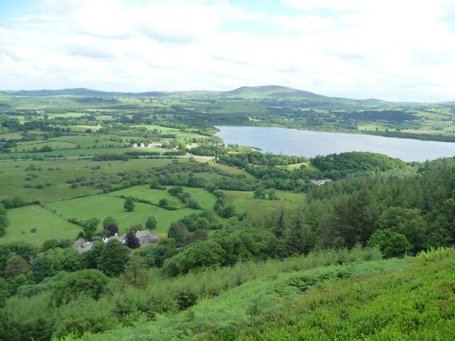
Image: © Christine Johnstone Taken: 14 Jun 2016
The hamlet is about 150 metres below.
Images are licensed for reuse under creativecommons.org/licenses/by-sa/2.0
Image Location
Latitude
54.662414
Longitude
-3.249024