Ford over the Kilmahew Burn
Introduction
The photograph on this page of Ford over the Kilmahew Burn by Lairich Rig as part of the Geograph project.
The Geograph project started in 2005 with the aim of publishing, organising and preserving representative images for every square kilometre of Great Britain, Ireland and the Isle of Man.

There are currently over 7.5m images from over 14,400 individuals and you can help contribute to the project by visiting https://www.geograph.org.uk
Ford over the Kilmahew Burn
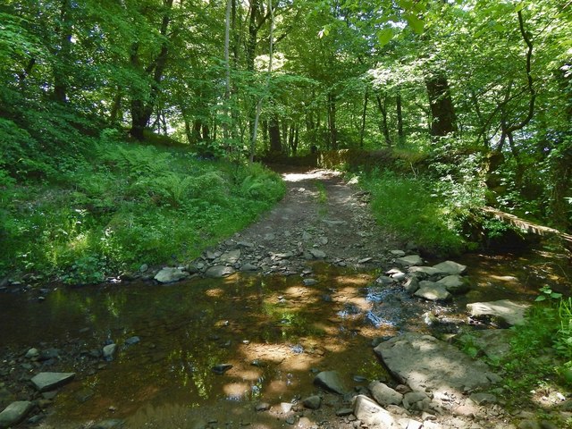
Image: © Lairich Rig Taken: 1 Jun 2016
For a view from the other side, see Image For the track leading away from it on the other side, see Image For a view of the burn from this ford, see Image, a view upstream (or, relative to the present picture, a view to the left). Another contributor's photograph, Image, taken nine years earlier, shows a metal bridge that was no longer fit for use by the time the present picture was taken. Its remnants can be seen on the right.
Images are licensed for reuse under creativecommons.org/licenses/by-sa/2.0
Image Location
Latitude
55.974174
Longitude
-4.642637