Southbourne: Broom Lane heads north
Introduction
The photograph on this page of Southbourne: Broom Lane heads north by Chris Downer as part of the Geograph project.
The Geograph project started in 2005 with the aim of publishing, organising and preserving representative images for every square kilometre of Great Britain, Ireland and the Isle of Man.

There are currently over 7.5m images from over 14,400 individuals and you can help contribute to the project by visiting https://www.geograph.org.uk
Southbourne: Broom Lane heads north
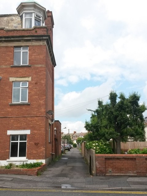
Image: © Chris Downer Taken: 25 Jun 2016
Broom Lane is essentially a rear access driveway for properties in Fisherman's Avenue, and it is seen here from its southern end. It also forms public footpath G02, and comes out on another lane/footpath - see Image See Image for a picture from a little way along the lane, also looking northward.
Images are licensed for reuse under creativecommons.org/licenses/by-sa/2.0
Image Location
Latitude
50.725409
Longitude
-1.817331