Southbourne: Southbourne Lane West from Chestnut Avenue
Introduction
The photograph on this page of Southbourne: Southbourne Lane West from Chestnut Avenue by Chris Downer as part of the Geograph project.
The Geograph project started in 2005 with the aim of publishing, organising and preserving representative images for every square kilometre of Great Britain, Ireland and the Isle of Man.

There are currently over 7.5m images from over 14,400 individuals and you can help contribute to the project by visiting https://www.geograph.org.uk
Southbourne: Southbourne Lane West from Chestnut Avenue
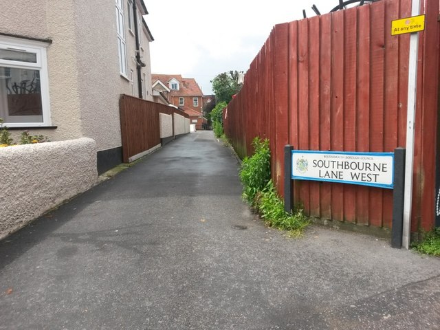
Image: © Chris Downer Taken: 25 Jun 2016
Southbourne Lane is split into three sections - West, Central and East - and is essentially a back alley providing rear accesses to shops and flats in Southbourne Grove (parallel to the right). Each section is also a public footpath - Southbourne Lane West is footpath G01 and it links Fisherman's Avenue with Chestnut Avenue. See Image for the next view on the path ahead, and Image for the start of the Central segment, just behind us.
Images are licensed for reuse under creativecommons.org/licenses/by-sa/2.0
Image Location
Latitude
50.725948
Longitude
-1.817046