The Breaches (1)
Introduction
The photograph on this page of The Breaches (1) by Simon Carey as part of the Geograph project.
The Geograph project started in 2005 with the aim of publishing, organising and preserving representative images for every square kilometre of Great Britain, Ireland and the Isle of Man.

There are currently over 7.5m images from over 14,400 individuals and you can help contribute to the project by visiting https://www.geograph.org.uk
The Breaches (1)
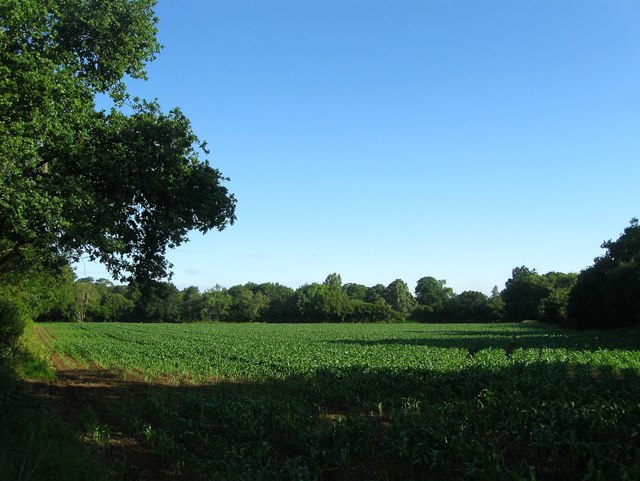
Image: © Simon Carey Taken: 25 Jun 2016
The name of the field according to Wiston's 1841 tithe map that is triangular in shape and located to the west of Image and south of Image Originally rectangular in shape the south east corner was separated when the Steyning-Pulborough turnpike was built in 1810, see Image
Images are licensed for reuse under creativecommons.org/licenses/by-sa/2.0
Image Location
Latitude
50.906357
Longitude
-0.351554