Waddesdon High Street
Introduction
The photograph on this page of Waddesdon High Street by John Winder as part of the Geograph project.
The Geograph project started in 2005 with the aim of publishing, organising and preserving representative images for every square kilometre of Great Britain, Ireland and the Isle of Man.

There are currently over 7.5m images from over 14,400 individuals and you can help contribute to the project by visiting https://www.geograph.org.uk
Waddesdon High Street
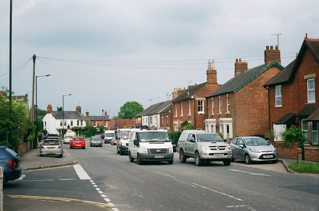
Image: © John Winder Taken: 7 Jun 2016
This is the main A41 between Aylesbury and Bicester, also known as Waddesdon High Street. I've often driven along here in a lorry in the middle of the night and thought how much the residents of what is basically a very picturesque village must resent having the likes of me trundling through in a hoofing great articulated lorry at two in the morning.
Images are licensed for reuse under creativecommons.org/licenses/by-sa/2.0
Image Location
Latitude
51.846196
Longitude
-0.920789