Strouden: entering footpath K32 from Craigmoor Avenue
Introduction
The photograph on this page of Strouden: entering footpath K32 from Craigmoor Avenue by Chris Downer as part of the Geograph project.
The Geograph project started in 2005 with the aim of publishing, organising and preserving representative images for every square kilometre of Great Britain, Ireland and the Isle of Man.

There are currently over 7.5m images from over 14,400 individuals and you can help contribute to the project by visiting https://www.geograph.org.uk
Strouden: entering footpath K32 from Craigmoor Avenue
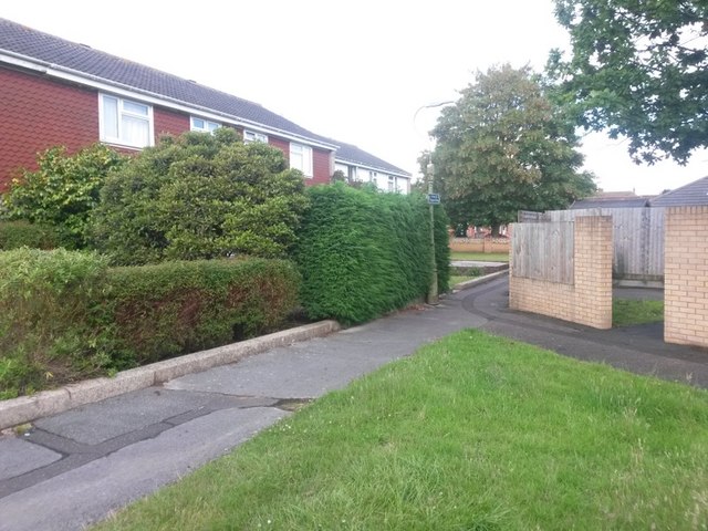
Image: © Chris Downer Taken: 25 Jun 2016
We stand by the dead end of Craigmoor Avenue, on the even numbered side, and see in front of us a public footpath to Vanguard Road, alongside which the even numbered houses continue even though the road stops here. See Image for the next photo along the path. A similar arrangement exists on the odds side, with a path almost parallel to this one: Image
Images are licensed for reuse under creativecommons.org/licenses/by-sa/2.0
Image Location
Latitude
50.749273
Longitude
-1.840343