Strouden: footpath K31 emerges onto Craigmoor Avenue
Introduction
The photograph on this page of Strouden: footpath K31 emerges onto Craigmoor Avenue by Chris Downer as part of the Geograph project.
The Geograph project started in 2005 with the aim of publishing, organising and preserving representative images for every square kilometre of Great Britain, Ireland and the Isle of Man.

There are currently over 7.5m images from over 14,400 individuals and you can help contribute to the project by visiting https://www.geograph.org.uk
Strouden: footpath K31 emerges onto Craigmoor Avenue
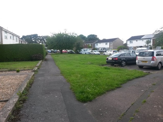
Image: © Chris Downer Taken: 25 Jun 2016
The public footpath from Vanguard Road emerges onto Craigmoor Avenue at its dead end and seamlessly becomes the pavement. The actual route of the public right of way extends to the point where it meets the road, at the tree ahead (see Image]). There is a similar path arriving here from Vanguard Road to the right-hand pavement - see Image See Image for a view of the path behind us, alongside which the houses continue.
Images are licensed for reuse under creativecommons.org/licenses/by-sa/2.0
Image Location
Latitude
50.749094
Longitude
-1.840627