Strouden: footpath K29 emerges onto Craigmoor Avenue
Introduction
The photograph on this page of Strouden: footpath K29 emerges onto Craigmoor Avenue by Chris Downer as part of the Geograph project.
The Geograph project started in 2005 with the aim of publishing, organising and preserving representative images for every square kilometre of Great Britain, Ireland and the Isle of Man.

There are currently over 7.5m images from over 14,400 individuals and you can help contribute to the project by visiting https://www.geograph.org.uk
Strouden: footpath K29 emerges onto Craigmoor Avenue
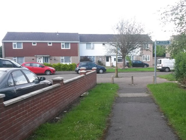
Image: © Chris Downer Taken: 25 Jun 2016
This public footpath from Bradpole Road reaches the end of its journey, at Craigmoor Avenue. It is the signpost on the lamppost which refers to this path; another path starts at the same spot: see Image See Image for the view of the path behind us.
Images are licensed for reuse under creativecommons.org/licenses/by-sa/2.0
Image Location
Latitude
50.749364
Longitude
-1.841193