Moordown: footpath M09 from its northern end
Introduction
The photograph on this page of Moordown: footpath M09 from its northern end by Chris Downer as part of the Geograph project.
The Geograph project started in 2005 with the aim of publishing, organising and preserving representative images for every square kilometre of Great Britain, Ireland and the Isle of Man.

There are currently over 7.5m images from over 14,400 individuals and you can help contribute to the project by visiting https://www.geograph.org.uk
Moordown: footpath M09 from its northern end
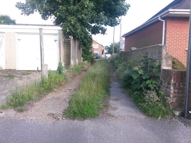
Image: © Chris Downer Taken: 25 Jun 2016
This short public footpath leads from Oakwood Road to Oakwood Road - the road is three sides of a square and the path leads through the middle of it. It acts as rear garage access to odd numbered houses and also a segment of Malvern Road, the fourth side of the square. See Image for a view towards us from midway along the path, with links to other photos along the route.
Images are licensed for reuse under creativecommons.org/licenses/by-sa/2.0
Image Location
Latitude
50.750475
Longitude
-1.866421