Kinson: footpath E49 crosses Howton Road
Introduction
The photograph on this page of Kinson: footpath E49 crosses Howton Road by Chris Downer as part of the Geograph project.
The Geograph project started in 2005 with the aim of publishing, organising and preserving representative images for every square kilometre of Great Britain, Ireland and the Isle of Man.

There are currently over 7.5m images from over 14,400 individuals and you can help contribute to the project by visiting https://www.geograph.org.uk
Kinson: footpath E49 crosses Howton Road
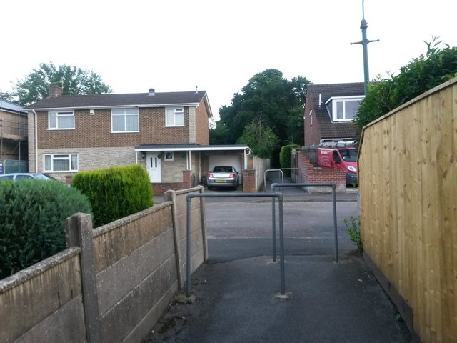
Image: © Chris Downer Taken: 24 Jun 2016
Looking along this footpath from Wimborne Road to Leybourne Avenue as it crosses the one intervening road, Howton Road. Maps mark the path as running uninterrupted across the road, rather than as two separate paths, as seems to be the norm. Perhaps this indicates that the right of way existed before the road was built. See Image for the next picture ahead, and Image for the next picture behind us.
Images are licensed for reuse under creativecommons.org/licenses/by-sa/2.0
Image Location
Latitude
50.766962
Longitude
-1.89686