Pokesdown: footpath G11 to Hosker Road
Introduction
The photograph on this page of Pokesdown: footpath G11 to Hosker Road by Chris Downer as part of the Geograph project.
The Geograph project started in 2005 with the aim of publishing, organising and preserving representative images for every square kilometre of Great Britain, Ireland and the Isle of Man.

There are currently over 7.5m images from over 14,400 individuals and you can help contribute to the project by visiting https://www.geograph.org.uk
Pokesdown: footpath G11 to Hosker Road
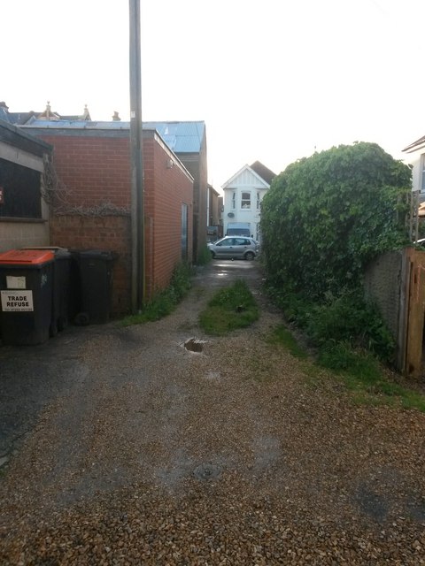
Image: © Chris Downer Taken: 23 Jun 2016
Looking along this short public footpath from its junction with another one - the two footpaths use rear access driveways of shops and flats to provide a T-shaped cut-through (see Image). See Image for a view towards us from the other end.
Images are licensed for reuse under creativecommons.org/licenses/by-sa/2.0
Image Location
Latitude
50.72784
Longitude
-1.819305