Road to Triley Court and The Deri
Introduction
The photograph on this page of Road to Triley Court and The Deri by Jonathan Billinger as part of the Geograph project.
The Geograph project started in 2005 with the aim of publishing, organising and preserving representative images for every square kilometre of Great Britain, Ireland and the Isle of Man.

There are currently over 7.5m images from over 14,400 individuals and you can help contribute to the project by visiting https://www.geograph.org.uk
Road to Triley Court and The Deri
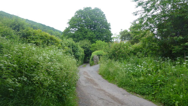
Image: © Jonathan Billinger Taken: 10 Jun 2016
The Deri is the south-eastern ridge of Y Fal/Sugarloaf.
Images are licensed for reuse under creativecommons.org/licenses/by-sa/2.0
Image Location
Latitude
51.841012
Longitude
-3.014546