St Manarch's Road, Lanreath
Introduction
The photograph on this page of St Manarch's Road, Lanreath by Derek Harper as part of the Geograph project.
The Geograph project started in 2005 with the aim of publishing, organising and preserving representative images for every square kilometre of Great Britain, Ireland and the Isle of Man.

There are currently over 7.5m images from over 14,400 individuals and you can help contribute to the project by visiting https://www.geograph.org.uk
St Manarch's Road, Lanreath
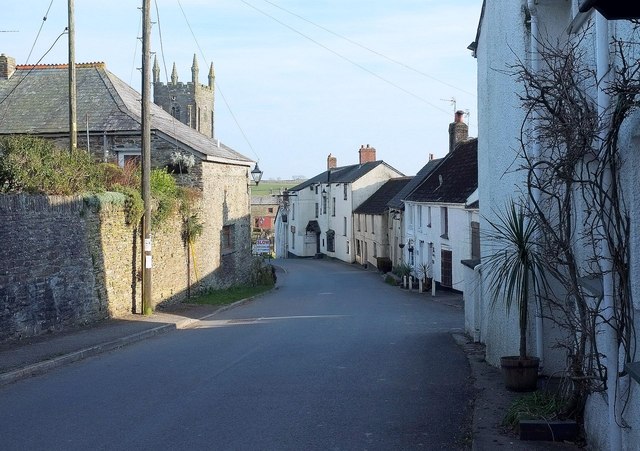
Image: © Derek Harper Taken: 21 Mar 2016
Looking the road that reaches the Punch Bowl Inn and the church (see Image]), and then swings left and continues out of the village.
Images are licensed for reuse under creativecommons.org/licenses/by-sa/2.0
Image Location


Leaflet Map data © OpenStreetMap
Latitude
50.383757
Longitude
-4.561392