Caerphilly Road houses, Cardiff
Introduction
The photograph on this page of Caerphilly Road houses, Cardiff by Jaggery as part of the Geograph project.
The Geograph project started in 2005 with the aim of publishing, organising and preserving representative images for every square kilometre of Great Britain, Ireland and the Isle of Man.

There are currently over 7.5m images from over 14,400 individuals and you can help contribute to the project by visiting https://www.geograph.org.uk
Caerphilly Road houses, Cardiff
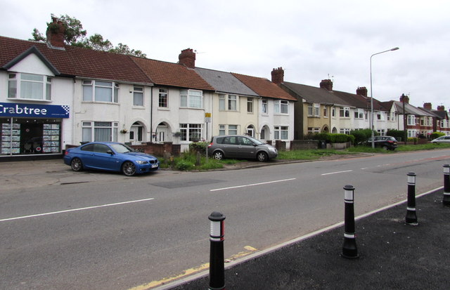
Image: © Jaggery Taken: 21 Jun 2016
On the east side of the A469 Caerphilly Road. The office of Hern & Crabtree http://www.geograph.org.uk/photo/5005835 is on the left.
Images are licensed for reuse under creativecommons.org/licenses/by-sa/2.0
Image Location
Latitude
51.517179
Longitude
-3.200599