Moordown: McWilliam Road
Introduction
The photograph on this page of Moordown: McWilliam Road by Chris Downer as part of the Geograph project.
The Geograph project started in 2005 with the aim of publishing, organising and preserving representative images for every square kilometre of Great Britain, Ireland and the Isle of Man.

There are currently over 7.5m images from over 14,400 individuals and you can help contribute to the project by visiting https://www.geograph.org.uk
Moordown: McWilliam Road
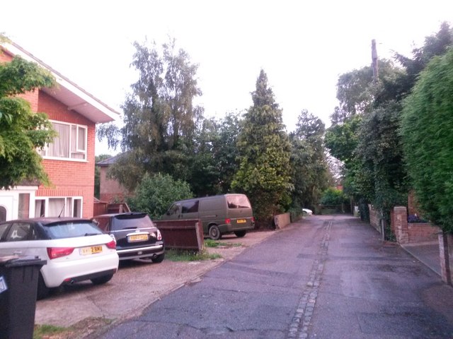
Image: © Chris Downer Taken: 22 Jun 2016
A funny little backwater of a road, not at all typical of the area. It contains literally only six or seven premises, ranging from the relatively modern house on the left to the thatched cottage (quite possibly the only one in Moordown) at the end (see Image).
Images are licensed for reuse under creativecommons.org/licenses/by-sa/2.0
Image Location
Latitude
50.753179
Longitude
-1.872083