Moordown: footpath M13 approaches Nursery Road
Introduction
The photograph on this page of Moordown: footpath M13 approaches Nursery Road by Chris Downer as part of the Geograph project.
The Geograph project started in 2005 with the aim of publishing, organising and preserving representative images for every square kilometre of Great Britain, Ireland and the Isle of Man.

There are currently over 7.5m images from over 14,400 individuals and you can help contribute to the project by visiting https://www.geograph.org.uk
Moordown: footpath M13 approaches Nursery Road
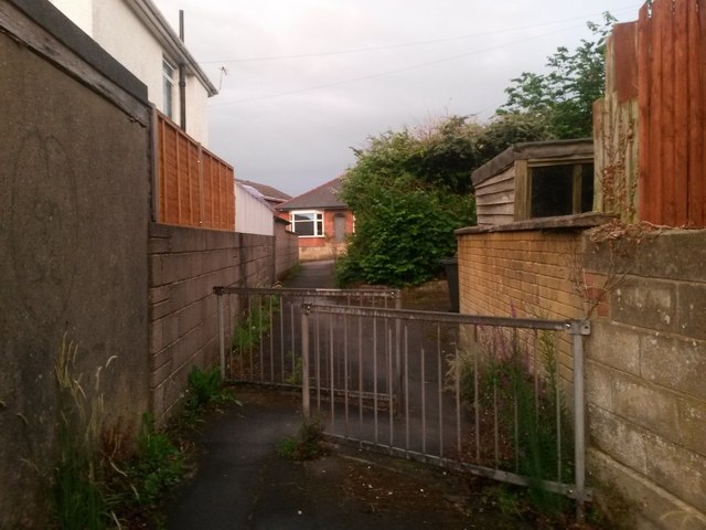
Image: © Chris Downer Taken: 22 Jun 2016
Looking along this short public footpath between Redbreast and Nursery Roads as it reaches the latter. Just beyond the barriers, to the right, is another footpath, separately numbered M14, which cuts a little corner off if you wish to turn right (see Image). See Image for a view towards us from the end of the path ahead, andImage] for a view over these same railings but towards and behind us.
Images are licensed for reuse under creativecommons.org/licenses/by-sa/2.0
Image Location
Latitude
50.755694
Longitude
-1.869383