Northbourne: footpath O20 heads for Headswell Gardens
Introduction
The photograph on this page of Northbourne: footpath O20 heads for Headswell Gardens by Chris Downer as part of the Geograph project.
The Geograph project started in 2005 with the aim of publishing, organising and preserving representative images for every square kilometre of Great Britain, Ireland and the Isle of Man.

There are currently over 7.5m images from over 14,400 individuals and you can help contribute to the project by visiting https://www.geograph.org.uk
Northbourne: footpath O20 heads for Headswell Gardens
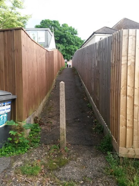
Image: © Chris Downer Taken: 22 Jun 2016
A continuation of the right of way, public footpath O20, seen behind us at Image, it takes the form of a narrow alleyway up to the dead end of Headswell Gardens. See Image for the downward view from the other end.
Images are licensed for reuse under creativecommons.org/licenses/by-sa/2.0
Image Location
Latitude
50.763801
Longitude
-1.881838