Road junction, Bridekirk
Introduction
The photograph on this page of Road junction, Bridekirk by Graham Robson as part of the Geograph project.
The Geograph project started in 2005 with the aim of publishing, organising and preserving representative images for every square kilometre of Great Britain, Ireland and the Isle of Man.

There are currently over 7.5m images from over 14,400 individuals and you can help contribute to the project by visiting https://www.geograph.org.uk
Road junction, Bridekirk
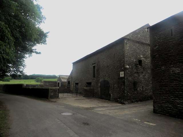
Image: © Graham Robson Taken: 17 Jun 2016
Stone farm buildings at the road side in the Bridekirk. The gap between the buildings is actually the end of a public road which eventually leads to Gilcrux.
Images are licensed for reuse under creativecommons.org/licenses/by-sa/2.0
Image Location
Latitude
54.69067
Longitude
-3.370439