Church of St Mary and St Andrew, Ridlington
Introduction
The photograph on this page of Church of St Mary and St Andrew, Ridlington by Marathon as part of the Geograph project.
The Geograph project started in 2005 with the aim of publishing, organising and preserving representative images for every square kilometre of Great Britain, Ireland and the Isle of Man.

There are currently over 7.5m images from over 14,400 individuals and you can help contribute to the project by visiting https://www.geograph.org.uk
Church of St Mary and St Andrew, Ridlington
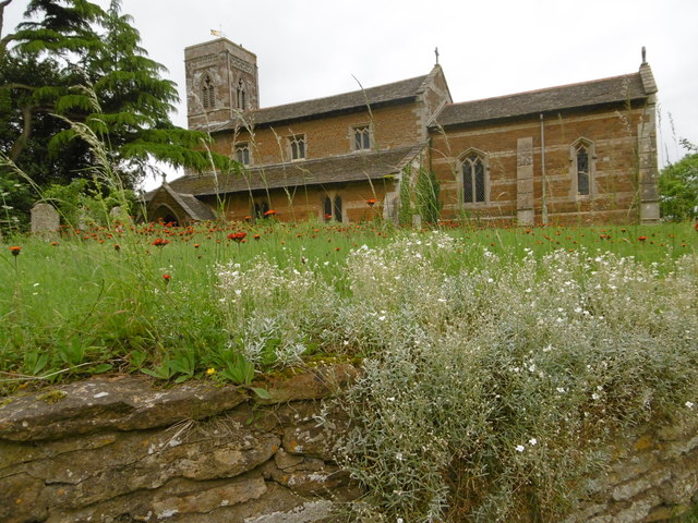
Image: © Marathon Taken: 18 Jun 2016
W. G. Hoskins in 'A Shell Guide to Rutland' says of Ridlington: "It is a large and very ancient village.. Like many of the earliest villages it stands high upon a wind-swept ridge, with fine views, for the river valleys were still densely forested when the Old English moved in during the second half of the fifth century and the early sixth. Like the other early villages, too, Ridlington grew up around a central green, much of which still remains. Though the present church is of no great interest, having been heavily restored in 1860, it stands upon an extremely ancient site. There can be little doubt that it was the mother-church for a large area around in the early days of Christianity in these parts (say c. 700)". Ridlington has many buildings, including the church, in the attractive golden stone typical of Rutland and Northamptonshire.
Images are licensed for reuse under creativecommons.org/licenses/by-sa/2.0
Image Location
Latitude
52.615738
Longitude
-0.749537