River Sowe downstream from the Allard Way crossing, Stoke, Coventry
Introduction
The photograph on this page of River Sowe downstream from the Allard Way crossing, Stoke, Coventry by Robin Stott as part of the Geograph project.
The Geograph project started in 2005 with the aim of publishing, organising and preserving representative images for every square kilometre of Great Britain, Ireland and the Isle of Man.

There are currently over 7.5m images from over 14,400 individuals and you can help contribute to the project by visiting https://www.geograph.org.uk
River Sowe downstream from the Allard Way crossing, Stoke, Coventry
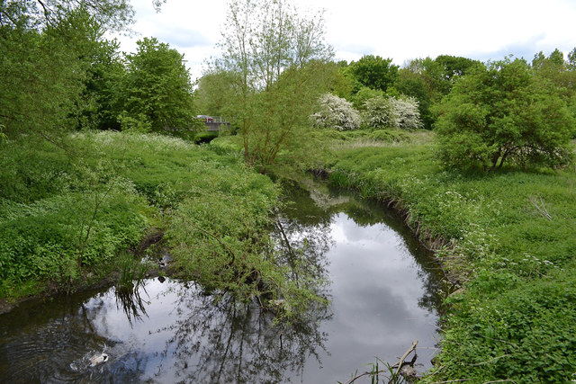
Image: © Robin Stott Taken: 22 May 2016
The southernmost Allard Way bridge and its shadow can be seen at upper left. The floodplain on each side here is presumed to be public open space. It is almost inaccessible to humans so must be presumed to be good for natural vegetation and wildlife.
Images are licensed for reuse under creativecommons.org/licenses/by-sa/2.0
Image Location
Latitude
52.395045
Longitude
-1.468553