Meadow by the Tamar
Introduction
The photograph on this page of Meadow by the Tamar by Derek Harper as part of the Geograph project.
The Geograph project started in 2005 with the aim of publishing, organising and preserving representative images for every square kilometre of Great Britain, Ireland and the Isle of Man.

There are currently over 7.5m images from over 14,400 individuals and you can help contribute to the project by visiting https://www.geograph.org.uk
Meadow by the Tamar
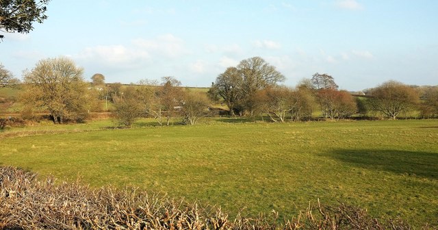
Image: © Derek Harper Taken: 15 Mar 2016
Looking left from the same spot as Image, with the river flowing past the nearer bushes, and behind it the lane crossing Deer Bridge; the rivers (Deer and Tamar) meet somewhere right of centre among the trees.
Images are licensed for reuse under creativecommons.org/licenses/by-sa/2.0
Image Location
Latitude
50.750869
Longitude
-4.385737